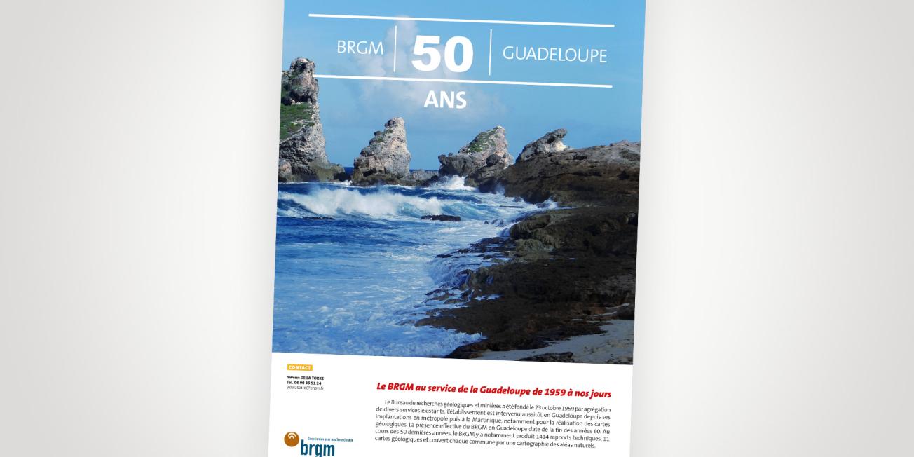
Cover of the press kit.
© BRGM
BRGM at the service of Guadeloupe from 1959 to the present day
This press kit covers the main stages of BRGM's work in Guadeloupe:
The decade from 1959 to 1969: the early days
The first studies carried out in Guadeloupe by the French Geological Mapping Service were continued. They concerned the creation of a geological map for all the islands in the Guadeloupe archipelago. This first edition was completed in 1966. The first investigations carried out between 1964 and 1965 had already evaluated the geothermal potential of Bouillante. Then, from 1966 onwards, BRGM’s activity was entirely devoted to geological, geophysical and geotechnical studies. A first study to investigate groundwater resources in Grande-Terre was undertaken in 1969.
The decade from 1970 to 1979: consolidating achievements
BRGM now had a permanent presence in an "Antilles" entity which included Martinique. Most of the activity remained devoted to geological and geotechnical studies. Clients were no longer just public bodies, with increasing demand from the private sector. For the first time in Guadeloupe, BRGM produced a synthesis on seismic risks in 1974. A network of accelerometers was set up in the Pointe-à-Pître region in 1977.
The decade from 1980 to 1989: geology and business development
BRGM's locally based workforce grew from 2 to 6 people. From 1985 on, the Antilles Division was based in Guadeloupe. Following the previous crisis at La Soufrière, investigations of the volcano were undertaken at BRGM and at the Paris Institute of Planetary Physics (IPGP). Second editions of other geological maps were produced during the decade: these were the maps of Saint-Barthélemy (1983), Grande-Terre (1988), les Saintes (1988) and Saint-Martin (1989).
The decade from 1990 to 1999: widening of the "risks" perimeter
The strengthening of the local branch continued until the workforce reached a maximum of 12 people. The programme for modernising the geological maps, that had been undertaken 15 years earlier, ended with the publication of the Marie-Galante geological map in 1993. In 1994, BRGM's entire engineering activity on a national scale was handed over to a specially created subsidiary company, Antea. As the residual public service activity was no longer sufficient to justify a fully-fledged establishment, BRGM entrusted its representation to its subsidiary. This particularly uncomfortable situation lasted until April 2000. Extensive research was undertaken on land movements and hazard zoning between 1991 and 1995. This was written up in a thesis.
The decade from 2000 to 2009: the renewal
BRGM again set up a fully-fledged establishment in 2000 with a regional geological mapping service in the Antilles comprising a representative in Martinique and another in Guadeloupe. But in 2001, the Regional Geological Mapping Service of Guadeloupe was created with one person. In 10 years, the staff grew until there were six people. In 2003, BRGM moved from Les Abymes to Houëlmont, creating an informal geopole (geology cluster) with the Soufrière Observatory. The Water activity continued to develop with, in particular, the establishment of a vulnerability map of the Marie-Galante and Grande-Terre aquifers and the development of a model for each of them. At the same time, the quantitative monitoring of the aquifers continued with the modernisation (automation and remote monitoring) of the network and its restructuring to meet the objectives of the EU Water Framework Directive. BRGM had also been monitoring the quality of these aquifers since 2008.
The decade from 2010 to 2019: towards the ecological and energy transition
The decade set off to a painful start with the earthquake in Haiti on 10 January 2010. BRGM intervened on site as part of the post-crisis management team, in the same way as for major hurricane events (storm Erika in Dominica in 2015, hurricanes Irma and Maria in 2017). The acquisition of subsurface baseline data was marked in 2013 by a major airborne geophysical campaign, GUADEM, covering the entire archipelago. In 2016, BRGM sold the majority of Géothermie Bouillante SA’s shares to the world market leader ORMAT and refocussed on its research activity. Finally, applications on the environment and pollution were strengthened with work on the transfer of chlordecone to the subsoil and groundwater (in partnership with INRA and CIRAD in particular) and also on the impact of onshore storage of sargassum. The circular economy is crucial in an island context, but BRGM is currently not very active in this respect, apart from publishing a guide on recycling construction waste. The regional geological mapping department became a regional division and moved to Petit-Bourg in 2013.
The next few years...
BRGM's activity will continue to focus on the major issues of its time and of Guadeloupe in the future, in partnership with local players and in synergy with regional framework programmes that are either in progress or being renewed (Site Policy, Convergence Contract, ERDF, SRDEII, SDAGE, etc.). In BRGM's traditional specialisations, including geology and knowledge of the subsurface, the challenge will be to be able to clarify and update data on Basse-Terre. Indeed, the geology of the island, which is particularly complex due to its volcanic history, has only been detailed in one document published in 1966, a time when the surface formations had only been studied a little or not at all, even though they are the ones that most constrain spatial planning and construction.


